
Parts of California Coast Remain Under High Surf Advisories Into Tuesday
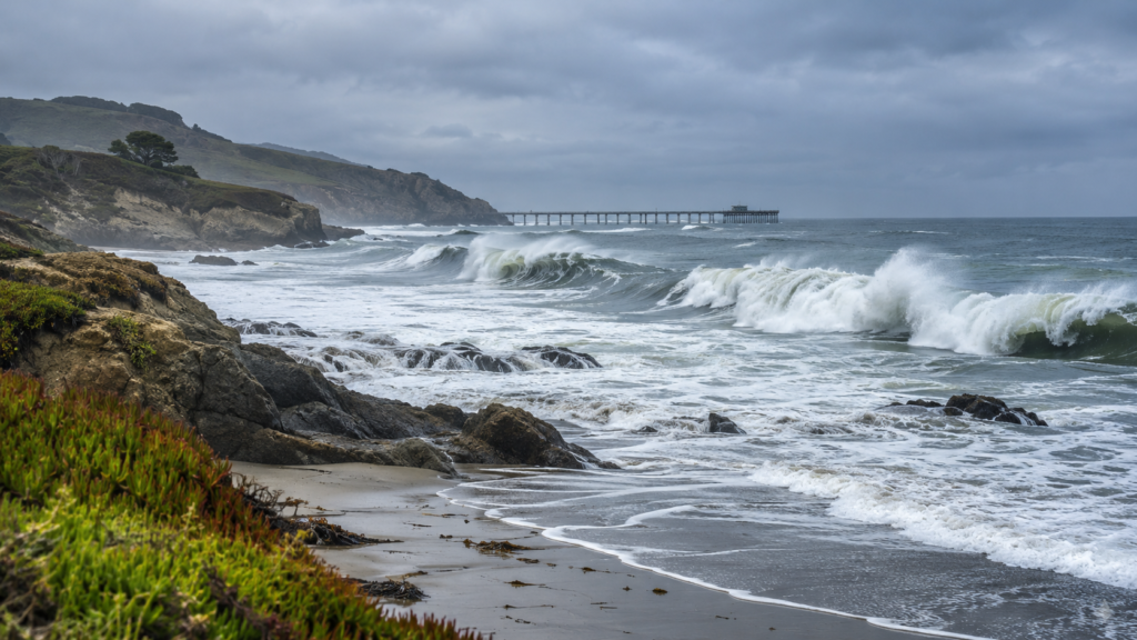
Parts of the California coast remain under National Weather Service high surf advisories into Tuesday, Nov. 17. The NWS forecast office for the Bay Area lists breaking waves of 20 to 25 feet, with larger sets at favored spots, while advisories farther south cover parts of San Luis Obispo and Santa Barbara counties.
Where advisories remain in effect
The NWS San Francisco advisory covers San Francisco, the coastal North Bay including Point Reyes, the San Francisco Peninsula coast, Northern Monterey Bay, Southern Monterey Bay and the Big Sur coast. It is scheduled to remain in effect until 4 a.m. PST Tuesday. The NWS says waves could reach 20 to 25 feet, with occasional sets of 25 to 35 feet at favored breakpoints.
For San Luis Obispo County beaches and Santa Barbara County’s Central Coast beaches, the NWS Los Angeles/Oxnard office lists an advisory through 3 p.m. PST Tuesday, with breaking waves of 10 to 15 feet and dangerous rip currents. Alert areas and times can differ along the coast; check the local NWS page for the specific beach or county.
Recent impacts and official guidance
The Associated Press reported that large waves flooded some California beaches and local streets on Sunday and contributed to pier closures over the weekend. A high surf warning in the Bay Area expired early Sunday and was replaced by the continuing advisory; the current NWS product lists the advisory, not an active warning, for those zones.
The NWS says dangerous waves can surge farther up beaches than usual and advises swimmers to stay out of the water while the advisory is active. Conditions and alerts can change, so consult the local forecast office before visiting the coast.
Sources
The Associated Press: Huge waves pummel the California coast, forcing the closure of iconic piers
National Weather Service San Francisco: Pacifica and Bay Area coastal surf advisory
National Weather Service Los Angeles/Oxnard: Central Coast surf advisory
